The deserts of Iran are located in the central plateau of the country and are enclosed by the Alborz, Khorasan and Zagros Mountains. These lands make up over 50% of Iran’s area. The desert lands are divided into two areas: the northern and larger basin, Dasht-e-Kavir; and the southern, smaller one, Dasht-e-Lout. Desert pits occur due to the seasonal flooding of swamps. Swamps and ponds created by Monsoon Rivers are extensive, such as the Gavkhouni swamps and Hamoun Jazmourian in the south.
Isfahan 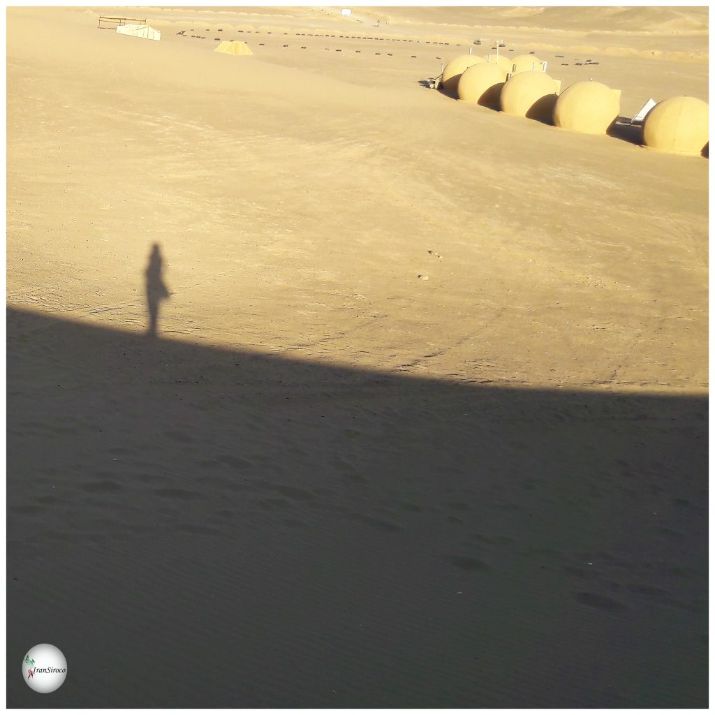
Yazd 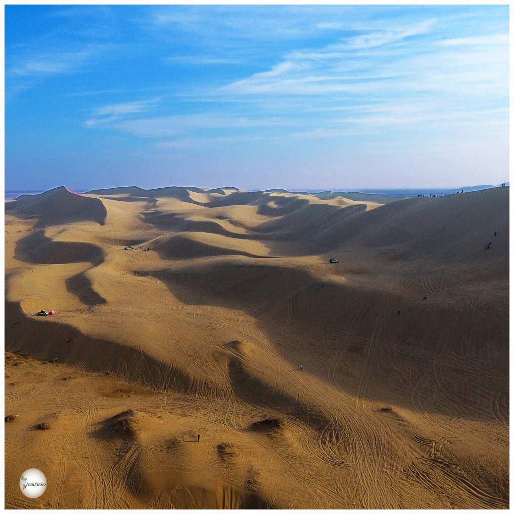
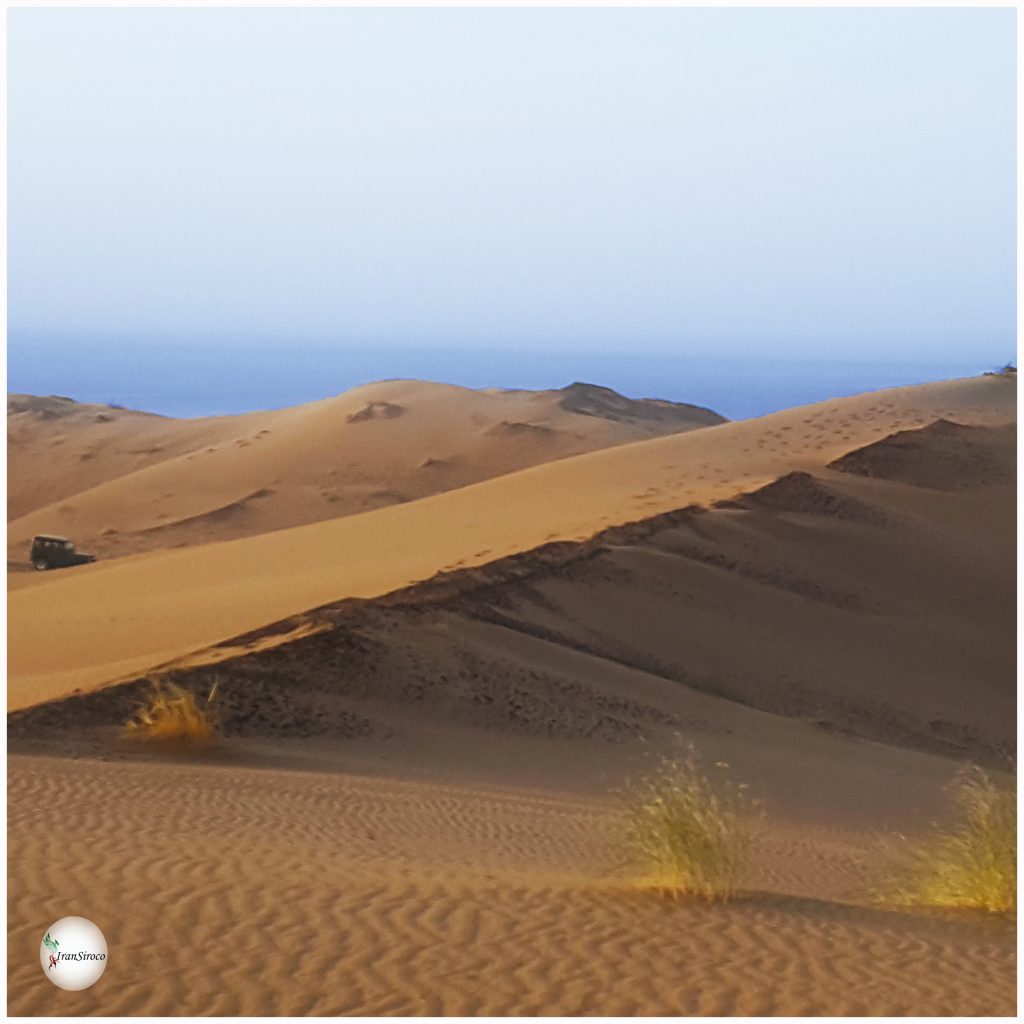
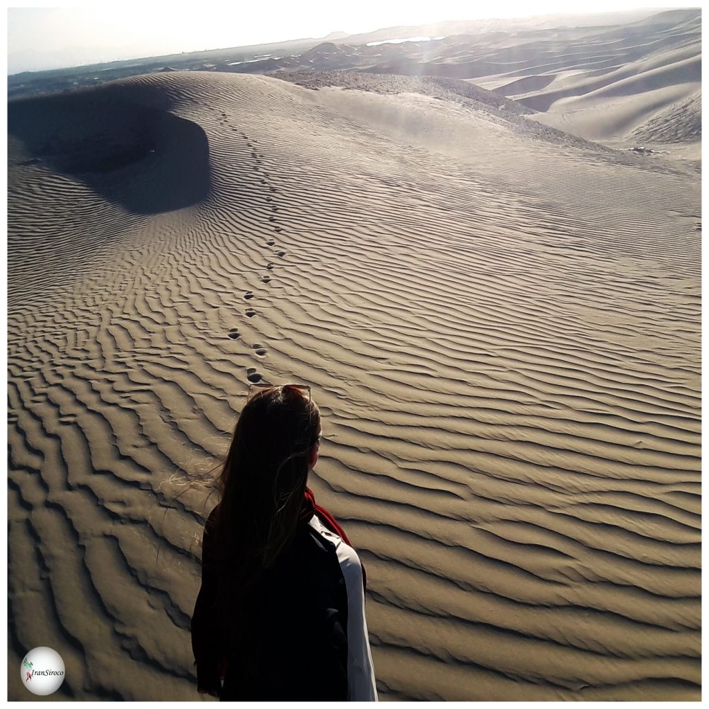
Maranjab 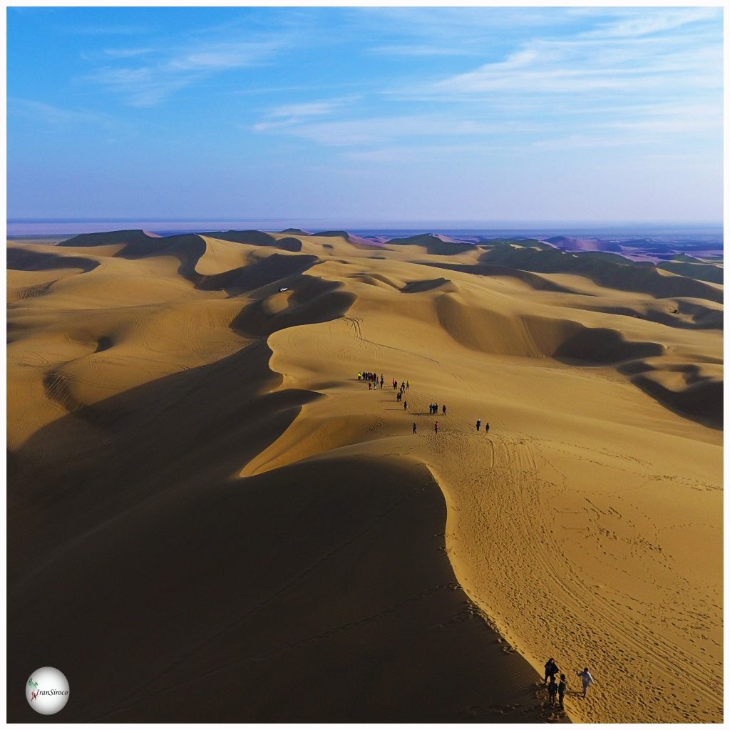
Hiking in Maranjab
The Hamoun Jazmourian area is estimated 8000 km2 and it is said that its water is not stagnant but penetrates into the ground. The presence of pits generally causes pans covered by salt and gypsum. Desert lands have heavy and clayey soils and cause floods at the time of rainfall due to the lack of soil permeability except in sandy dunes, eroded deserts or rocky sabulous such as in the vicinity of Yazd. Floods dissolve salt and other solutes on their way to the lowland pits, creating seasonal ponds containing saline water.
Generally, the breadth and diversity of saline lands and salt marsh pans in Iran is not seen elsewhere. Examples are Abarkouh pan or the swamps of Ardakan in Yazd province. There is another basin at the western end of Dasht-e-Kavir, surrounded by the Siahkooh and Sefidaab Mountains and containing a salt lake. Here are the two famous pits of Hoz-e-Mereh and Hoz-e-Soltan. Moreover, Dasht-e-Kavir connects to Dasht-e-Lut and continues to the most southern region of Iran. The area is located between Kerman, Makran, Sistan and Baluchistan and a part of Khorasan. Dasht-e-Lut has no vegetation. The east and the west of Lut are affected by sand dunes up to 300 m high. To the east of Lut are the largest and greatest masses of sand in this region, over 200 km from north to south and 70 km wide.
The western part of Lut starts 30 km from Shahdad, known locally as Kalut. The area is 250 km long and 70 km wide from northwest to southeast. Overall, Dasht-e-Kavir is nearly 340 km long, varying in width from 65 to 340 km. The highest point is 1170 m above sea level and the lowest pit about 700 m below sea level. Sixty per cent of Dasht-e-Kavir’s surface is covered by old and eroded rocks from the Miocene period. There is a clay layer with salt and gypsum in the central part of the desert. According to the Geological Survey of Iran, saline areas, bare lands, desert and sand dunes, that is, regions with less than 100 mm rainfall, cover about 21% of the total area of the country, or about 340,000 km2.
source: